SEEQUENT

Seequent builds world-leading subsurface software, helping create a better understanding of the earth to ensure a better world for all.
 
We are constantly evolving at the forefront of technology to transform how geo-professionals work, eliminating barriers to understanding by connecting software, teams, and the tools they need. 
 
Every day, our customers in over 100 countries work to develop mineral resources more sustainably, design and build better infrastructure, protect the environment, source renewable energy, and help resolve historical challenges such as groundwater contamination and ageing infrastructure. 
 
Our integrated earth modelling, geo-data management, and team collaboration software enables them to see a more complete picture of the earth: because with more understanding comes better decisions – for people and the planet. 
 
Headquartered in New Zealand with global reach, Seequent is the subsurface software company within Bentley Systems. Together, we are helping build a more resilient world.

Seequent builds world-leading subsurface software, helping create a better understanding of the earth to ensure a better world for all.

Phoenix Geosystem Indonesia is a Seequent Channel Partner selling Oasis montaj.

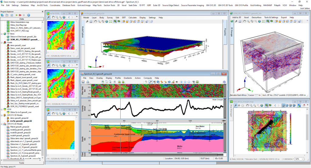
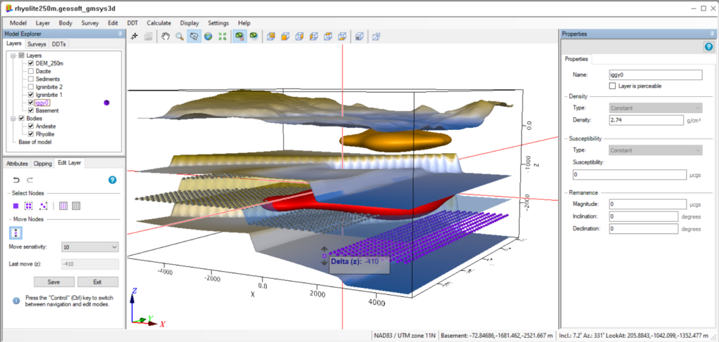
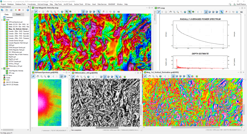
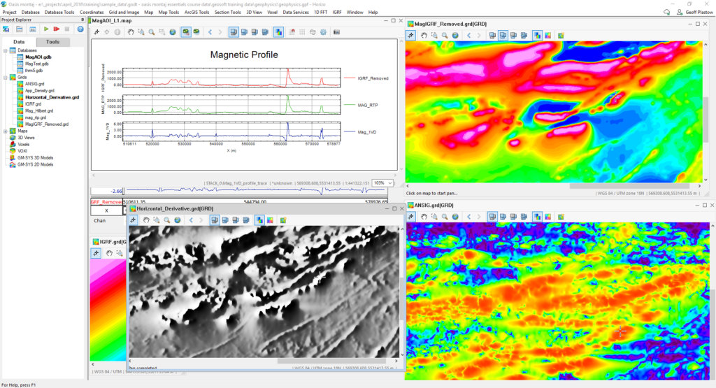
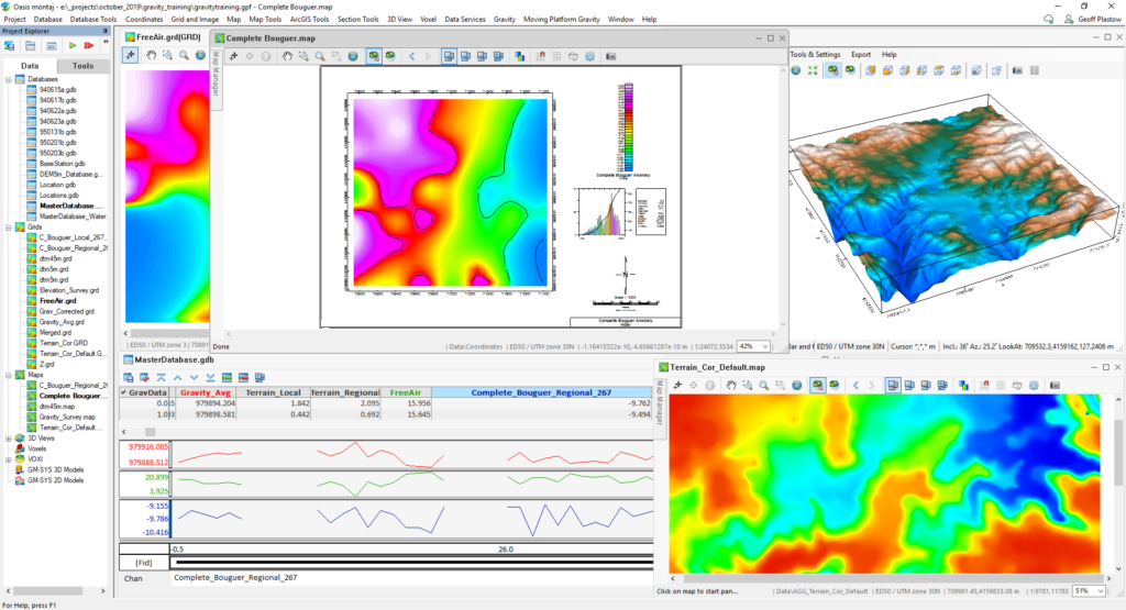
Bring multi-disciplinary teams together through integrated interpretation of geophysical, geochemical, and geological data within one dynamic 3D environment, reducing exploration risk by transforming data into decisions.  With Oasis montaj you can visualize, model, and interpret over 50 data types and formats with over 20 extensions built for the most challenging workflows, advancing productivity and collaboration while reducing the cost of mineral, energy, and subsea exploration

Core Capabilities

  • Data import and organisation
  • Integrated mapping and analysis
  • Subsurface Visualisation
  • 2D and 3D Gridding and Isosurfaces
  • Gridknit
  • Dynamic data linking
  • Digitising and wireframing
  • Sharing and collaboration
  • Spatial data search

download brochure

Oasis Montaj

Extensions – Acquisition, QC & Processing

Extension

Brochure

Geophysics

Download

Airborne Quality Control

Download

Isostatic Residual

–

Geophysics Levelling

Download

GridKnit

Download

Compudrape

Download

UXO Land 

Download

Extension

Brochure

UAV Geophysics

–

256-Channel Radiometrics Processing

Download

Praga3 Radiometrics

Download

Induced Polarization

Download

EM Utilities

–

UX-Analyze

Download

UXO Marine

Download

Extensions – Analysis

Extension

Brochure

2D Filtering

Download

Grav/Mag Interpretation

Download

Depth to Basement

–

CET Grid Analysis

Download

CET Porphyry Detection

Download

Extensions – Interpretation

Extension

Brochure

GM-SYS Profile Modelling

Download

GM-SYS 3D Modelling

–

VOXI Earth Modelling

Download

Data-to-Discovery Journey

Extension

Gravity

Magnetics

Radiometric/Spectrometry

EM

IP/Res

Seismic

Mining

Enviromental and Civil

Energy

Acquisition, QC & Processing

Geophysics

√

√

√

√


√

√

√

√

Gravity and Terrain Correction

√


√

√

√

Isostatic Residual

√


√

Airborne Quality Control

√

√

√

√


√


√

Geophysics Levelling

√

√

√


√


√

Compudrape

√

√

√


√


√

GridKnit

√

√

√


√


√

UXO Land and UX-Analyze


√


√


√


*Also used for analysis


√


UXO Marine


√


√


UAV Geophysics


√


√

√


256-Channel Radiometrics Processing


√


√

√


Praga3 Radiometrics Extension


√


√

√


Induced Polarization


√


√

√


EM Utilities


√


√

√

√

Analysis

2D Filtering

√

√


√

√

√

Grav/Mag Interpretation

√

√


√

√

√

Depth-to-Basement

√

√


√

CET Grid Analysis

√

√


√


√

CET  Porphyry Detection


√


√


Interpretation

GM-SYS – 2D modelling

√

√


√


√

GM-SYS – 3D modelling

√

√


√


√

VOXI 3D cloud-based inversion

√

√


√

√

√

√

√

√

System Requirements

Operating System

Microsoft Windows (64-bit) 10 or 11

Microsoft Windows (64-bit) 11 (Recommended)

CPU

Multi-core Intel i5 or i7, or an AMD A10 or FX CPU

RAM

8 GB minimum required, 16-32 GB recommended

Graphics

A graphics card supporting OpenGL 3.3 is needed to run with hardware acceleration.

Software based graphics rendering at much lower performance levels are supported for systems without an OpenGL 3.3 card

It will need to ensure that have the latest driver for video card installed. Updating the driver from within Windows may not be sufficient so it should download the latest driver directly from Computer Manufacturer’s website.

Intel: HD Graphics 4000

NVidia: Any card with OpenGL 3.3 support

AMD: Any card with OpenGL 3.3. support

Recommended graphics cards for better performance would be:

Intel: HD Graphics, 4000 (minimum), Intel: HD Graphics 6000 or 520 (recommended)

NVidia: Any card with OpenGL 3.3 support (minimum), NVidia: OpenGL 4.0 Support & 4GB RAM (recommended)

AMD: Any card with OpenGL 3.3. support (minimum), AMD: OpenGL 4.0 Support & 4GB RAM (recommended)

Storage

High performance SSD drives are recommended for both the OS drive and the data drive.


HDD 50 GB capacity


SSD 500 GB – 1 TB or larger capacity (Recommended)

Printer/Plotters

Any Windows® supported colour printer. Hewlett Packard® large-format ink-jet plotters (Recommended)

Seequent builds world-leading subsurface software, helping create a better understanding of the earth to ensure a better world for all.

Phoenix Geosystem Indonesia is a Seequent Channel Partner selling Leapfrog.

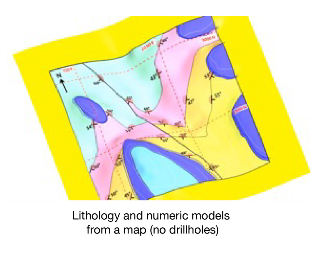
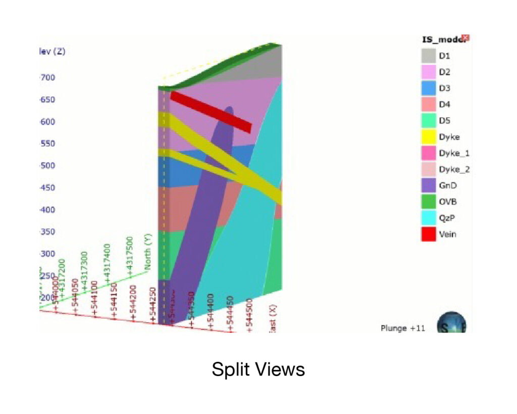
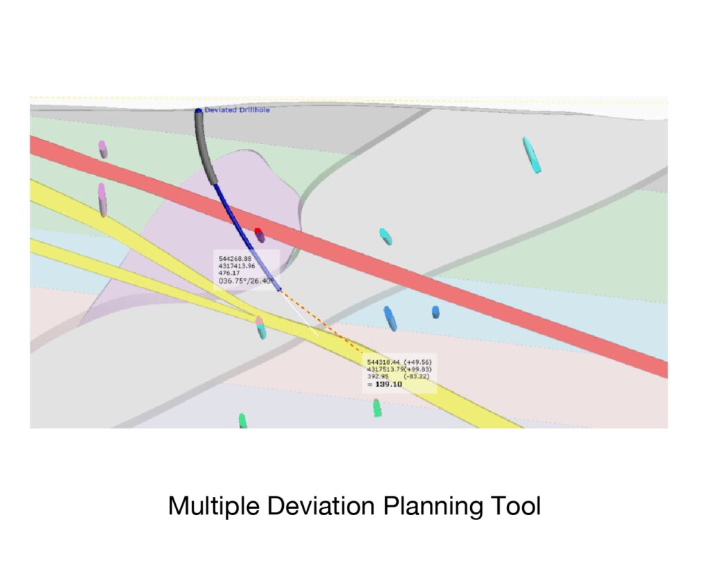
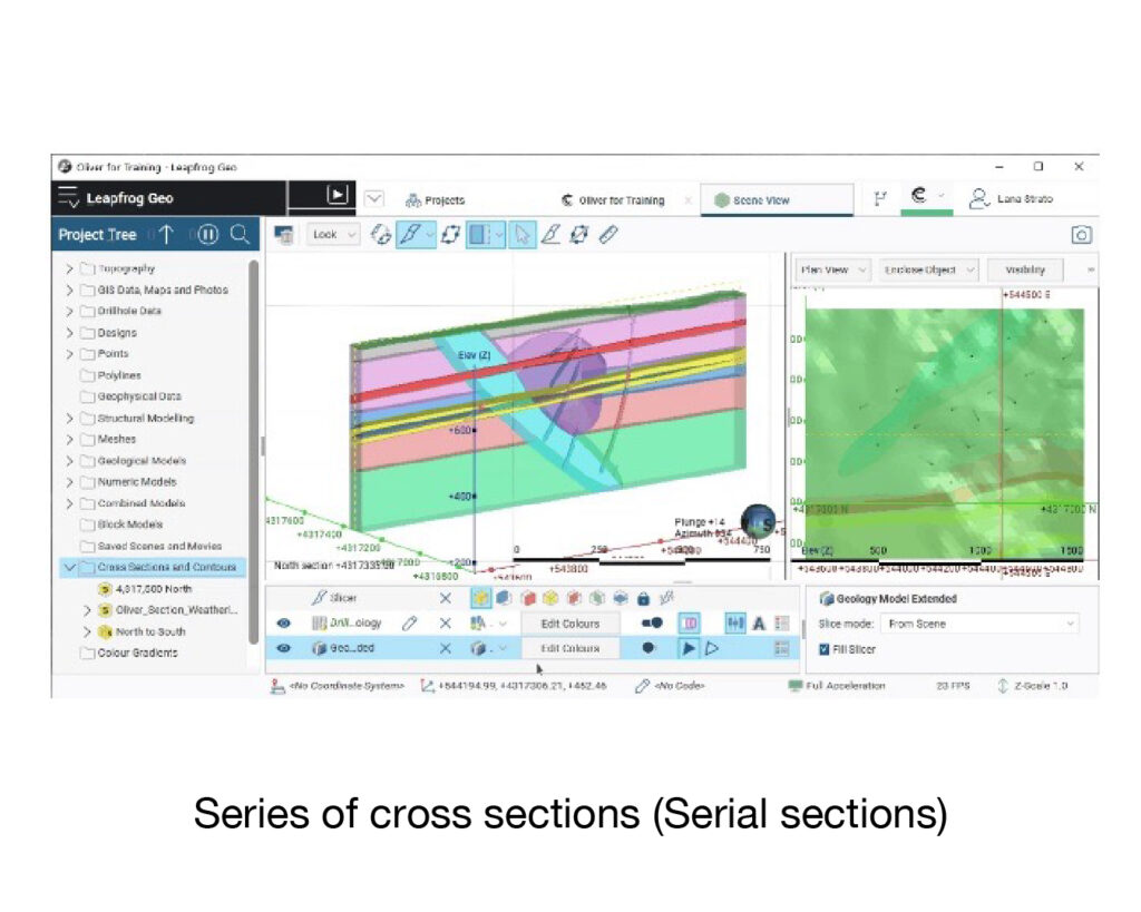
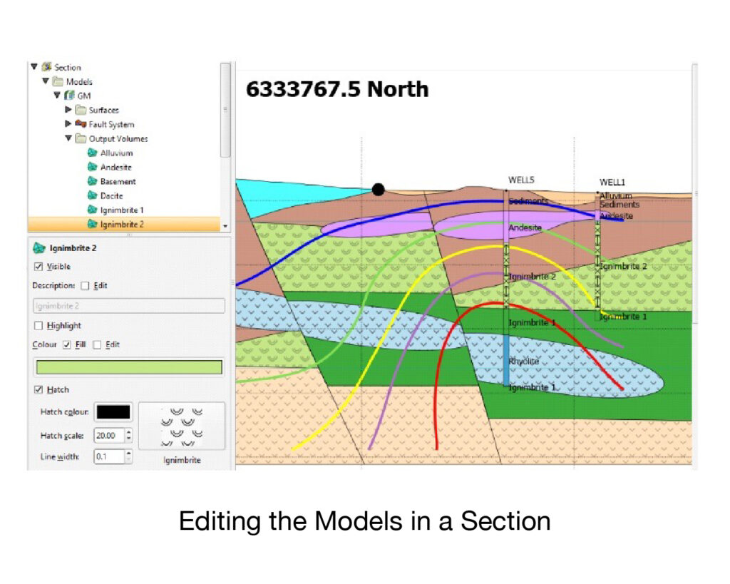
Leapfrog Geo 3D implicit modelling allows modellers to build direct from data in days, not weeks. New data can be quickly added, keeping models up to date and up to speed with project lifecycles. Seeing and working in 3D brings instant clarity and aids understanding and means users can easily communicate and collaborate and not just with specialists. But Leapfrog Geo is much more than implicit modelling, the data analysis tools have changed how geologists look at and work with data. Fast and easy to learn, expect to be up and running in no time and expect to save time or spot potential problems early on, avoid lengthy delays and unexpected costs and quickly capitalise on opportunity.


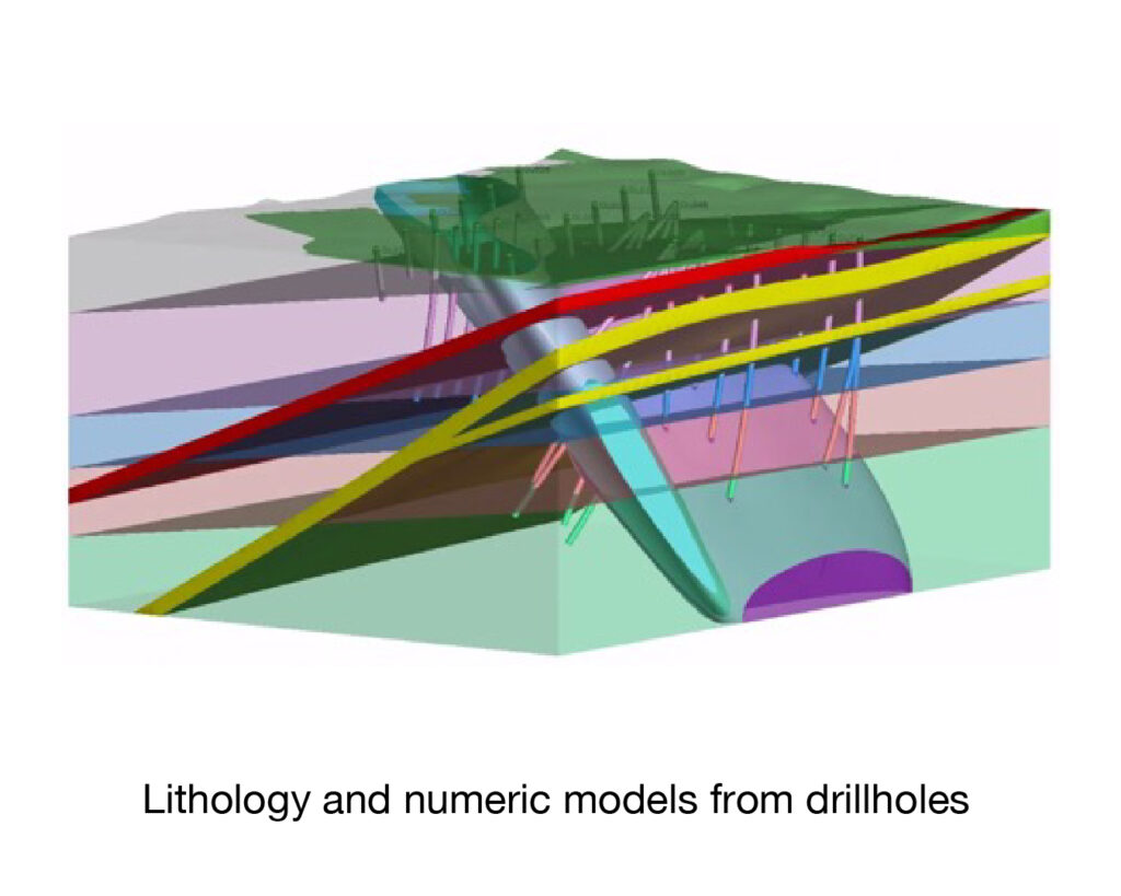
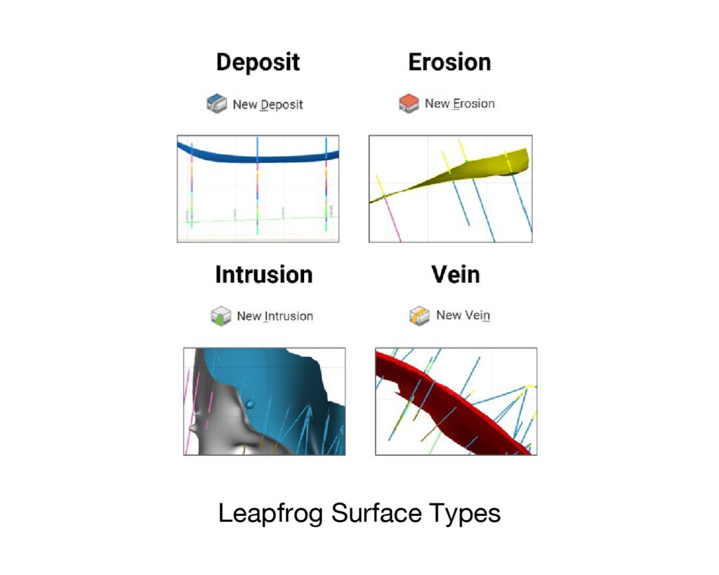
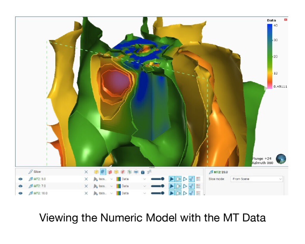
Works primarily with downhole drillhole data, but also integrates mapped, GIS, topographic and structural data to produce Geology Models, Structural Models, Faultied Models, Alteration, Numeric and Resource Models in triangulated, blocked and 2D formats. Available with several optional modules including Hydrogeology, ioGAS Link, Maptek Link and more recently Leapfrog Edge. Bring in data directly from industry-leading partner solutions, such as MX Deposit, Imago, acQuire, Maptek, ioGAS Link, IMDEXHUB-IQ, ALS Coreviewer and Coreshed. 

download brochure

Leapfrog GEO

Leapfrog Geothermal enables subsurface professionals to build robust conceptual models from multidisciplinary data with ease. The fast and intuitive nature of the workflow based 3D modelling enables interpretations that can be easily updated and new information can be added seamlessly. Interfaces to industry standard geophysical, well, geochemistry and flow simulation formats and software means collaboration across disciplines is driven through an intuitive geoscience platform driving clarity in decision-making for geothermal development and exploration.

download brochure

Leapfrog GEOTHERMAL

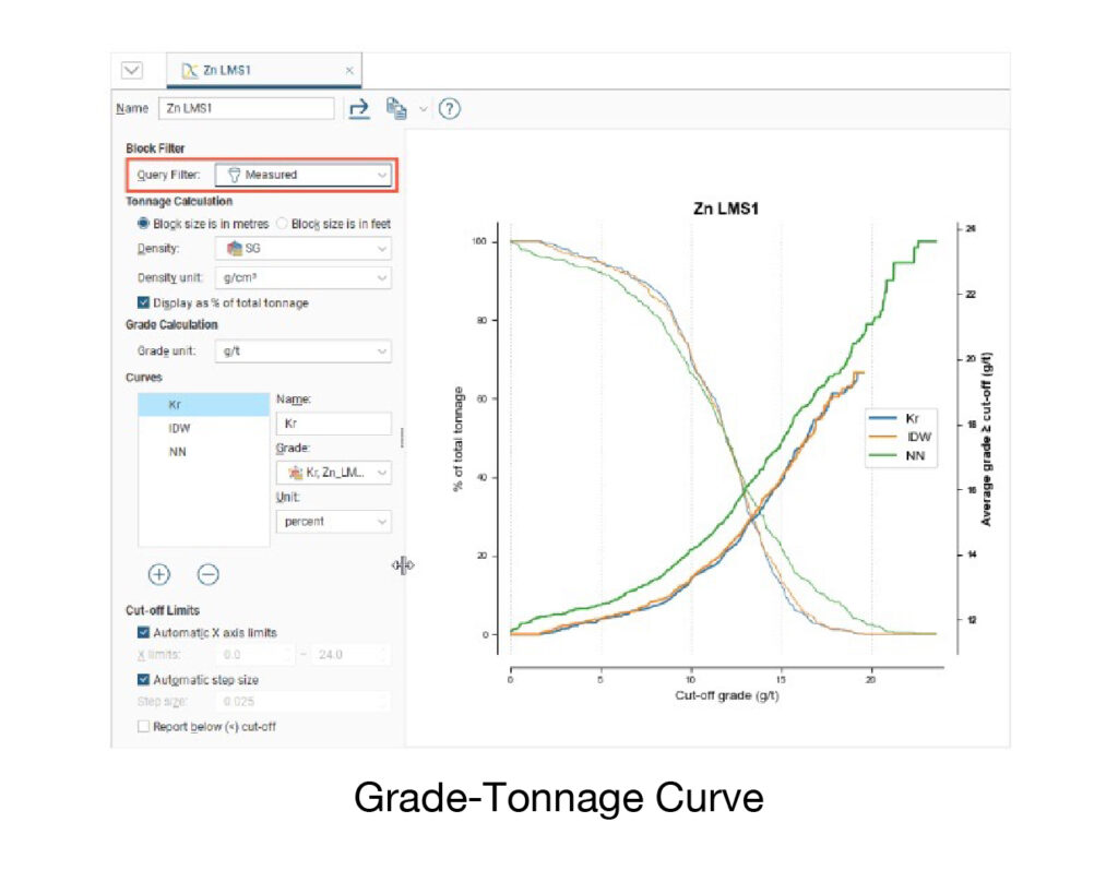
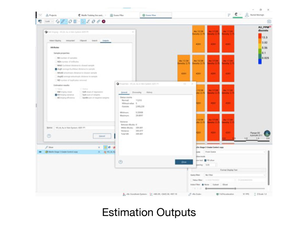
A single static model for the life of a mine is no longer good enough. Management want to test risk in a project or estimate. Leapfrog Edge brings dynamic updating to resource estimation, allowing for multiple realisations of an estimate in a relatively short time. Edge integrates fully with the Leapfrog Geo dynamic model it’s based on, extending and connecting the workflow; introduce new data and the resource estimate updates. And as you expect from the leader in 3D geological modelling, Edge is highly visual. Users get to visualise results in 3D, interact, iterate and gain new insights, improving and accelerating decision making even further. Edge truly is a solution for today’s resource estimation challenges

download brochure

Leapfrog EDGE

System Requirements

Operating System

Microsoft Windows (64-bit) 8.1, 10

Microsoft Windows (64-bit) 10 (Recommended)

CPU

Intel Core i3, i5, i7 or i9 CPU (2nd Generation) or later, Intel Xeon, AMD FX or Ryzen

Intel Core i7-7700k, i7-8700k, i9-9900k, Intel Xeon E5-2667 v4 (Recommended)

RAM

4 GB minimum required, 32 GB recommended

Graphic

Nvidia – Desktop

GeForce 700, 900, 1000, 1600, 2000 series Quadro 600 series and above, K series, P series, RTX series

GeForce GTX 1050 / 1050 Ti, 1060, 1660 / 1660 Ti (Recommended)

Nvidia – Mobile

GeForce 700M, 800M, 900M, 1000, 1600, 2000 series Quadro M series, P Mobile series, RTX series

GeForce GTX 1050 / 1050 Ti, 1060, 1660 / 1660 Ti (Recommended)

AMD – Desktop

Radeon HD 8000, R5, R7, R9, RX, VII series Firepro V, W series

Radeon RX 570, RX 590 (Recommended)

AMD – Mobile

Radeon HD 8000, R5, R7, R9, RX series FirePro M series

Radeon R9 M375, RX 460 (Recommended)


Intel Integrated Graphics

HD Graphics 2000 (Generation 2 or later), HD Graphics 510 (Generation 6 or later), HD/UHD Graphics 610 (Generation 7 or later)

Storage

Hard Disk (HDD) 250 GB capacity, 25 GB free space


Solid-State (SSD) 1 TB or larger capacity, 100 GB free space (Recommended)

Display

1280 x 720


2560 x 1440 (Recommended)

Leapfrog Geo Supported Data Types & Formats

Inputs

Outputs

Drillholes

3D Surfaces and Volumes

Meshes/Surfaces

Planned Drillholes

Points

Drillhole Tables

Polylines

Cross Sections

GIS Data

Images

2D Grids

Movies

Structural Data

3D Scene Files

Geophysical Data

Block Models

Maps

Stereonets

Image

GIS Lines

Historical Sections

Points

MODFLOW and FEFLOW Flow Models

Structural Data

(with Hydrogeology Extension) 

Polylines


MODFLOW and FEFLOW Flow Models


(with Hydrogeology Extension)


3D Printed Models


Publish Project to Central

Leapfrog Geo Supported Data Types & Formats

Drillhole DataGIS Vector Data

CSV Text File (*.csv), ASCII Text File (*.asc), Plain Text Files (*.txt), Data Files (*.dat), TSV Text Files (*.tsv)

Shape Files (*.shp), MapInfo Files (*.tab, *.mif), ESRI Personal GeoDatabase Files (*.mdb, *.accdb), MapInfo Batch File (*.xml), ESRI Geodatabase (*.gdb)

Files can be imported:

From files stored locally Via ODBC (*.mdb, *.accdb) Via acQuire (*.sel)

File Types (Imports)

Block Models

Cross Section Evaluations

Cross Section Layouts

CSV + Text Header (*.csv, *.csv.txt), CSV with Embedded Header (*.csv), CSV as points (*.csv), Isatis Block Model Files (*.asc), Surpac Block Model Files (*.mdl), Datamine Block Model Files

DXF Files (*.dxf), DWG Files (*.dwg), Bentley Drawing Files (v8) (*.dgn)

PDF Files (*.pdf), Scalable Vector Graphics Files (*.svg), PNG Image Files (*.png), GeoTIFF Files (*.tiff, *.tif)


Leapfrog Geo Supported Data Types & Formats

File Types (Imports)

2D Grids

Block Models

Colour Gradients

Arc/Info ASCII Grid (*.asc, *.txt), Arco/Info Binary Grid (*.adf), Digital Elevation Model (*.dem), Digital Elevation Model (*.dem), Intergraph ERDAS ER Mapper 2D Grid (*.ers), ESRI .hdr Labelled Image (*.img, *.bil), SRTM .hgt(*.hgt), Surfer ASCII or Binary Grid (*.grd), Grid eXchange File (*.gxf), Geosoft Grid (*.grd)

CSV + Text Header (*.csv, *.csv.txt), CSV with Embedded Header (*.csv), Isatis Block Model Files (*.asc)

Geosoft Colour Files (*.tbl), ERMapper Lookup Tables (*.lut), MapInfo Colour Files (*.clr), Leapfrog Colour Files (*.lfc)

Flow Models (with Hydrogeology Extension)

Geophysical Data

Elevation Grids

MODFLOW Models (*.nam, *.mf, *.mfn)

FEFLOW Models (*.fem, *.dac)

DFN FIles (*.dfn)
UBC Grids (*.msh, *.nev)

Arc/Info ASCII Grid Files (*.asc, *.txt), Arc/Info Binary Grid Files (*.adf), Digital Elevation Model Files (*.dem), Surfer ASCII or Binary Grid Files (*.grd), SRTM Files (*.hgt), ESRI.hdr Labelled Image Files (*.img,*.bil), GeoTIFF Image Files (*.tiff, *.tif)
Structural Data/Lineations

Points

Maps/Photos/Cross Sections

CSV Text Files (*.csv)
ASCII Text Files (*.asc)
Plain Text Files (*.txt)
Data Files (*.dat)
Via ODBC (*.mdb, *.accdb)

CSV Files (*.csv)
ASCII Text Files (*.asc)
DXF Files (*.dxf)
Leapfrog Geo 3D Point Data
files (*.pl3, *.ara)
Via ODBC (*.mdb, *.accdb)

PNG Files (*.png)
JPEG Files (*.jpg, *.jpeg)
TIFF and GeoTIFF Files (*.tiff, *.tif)
Windows Bitmap Files (*.bmp)
Graphics Interchange Format Files (*.gif)

Meshes

Polylines


Leapfrog Geo Attribute Binary Mesh Formats (*.msh, *.ara)
Datamine Files (*.asc, *.dm)
DXF Polyface Files (11/12 [AC1009]) (*.dxf)
Gemcom Files (*.tri)
Alias Wavefront Object Files (*.obj)
Surpac DTM Files (*.dtm)
GOCAD Files (*.ts)
Leapfrog Model Files (*.lfm)
Micromine Files (*.dat)
Bentley Drawing Files (v8) (*.dgn)
AutoCAD Drawing Files (2013/LT2013) (*.dwg)
Vulcan Files (*.00t) (with Maptek Link)

Datamine Polylines (*.asc)
Surpac String Polylines (*.str)
Gemcom Polylines (*.asc)
Micromine Polylines (*.str, *.asc)
MineSight Polylines (*.srg)
Gocad Polylines (*.pl, *.ts)
Drawing Interchange Polylines (*.dxf)
Old Leapfrog Polylines (*.lfpl)
Leapfrog Polylines (*.csv, *.txt)
AutoCAD Drawing Files (2013/LT2013) (*.dwg)
Bentley Drawing Files (v8) (*.dgn)


File Types (Exports)

Block Models

Cross Section Evaluations

Cross Section Layout

CSV + Text Header (*.csv, *.csv.txt)
CSV with Embedded Header (*.csv)
CSV as points (*.csv)
Isatis Block Model Files (*.asc)
Surpac Block Model Files (*.mdl)
Datamine Block Model Files (*.dm)

DXF Files (*.dxf)
DWG Files (*.dwg)
Bentley Drawing Files (v8) (*.dgn)

PDF Files (*.pdf)
Scalable Vector Graphics Files (*.svg)
PNG Image Files (*.png)
GeoTIFF Files (*.tiff, *.tif)

Evaluation/Thickness Grids

Flow Models
(with Hydrogeology Extension)

Geophysical Data/UBC Grids

Arc/Info ASCII Grid Files (*.asc)
ESRI .hdr Labelled Files (*.bil)
ENVI Raster Image Files (*.img)
Surfer ASCII Grid Files (*.grd)

MODFLOW Models (*.nam)
FEFLOW Models (*.fem)

Grid (*.msh)
Properties (*.nev)
Points

Polylines

Meshes (Model Surfaces/Output
Volumes/Form Interpolant Surfaces)

CSV Files (*.csv)
DXF Files (11/12 [AC1009]) (*.dxf)
Drawing Files (2013/LT2013) (*.dwg)
Bentley Drawing Files (v8) (*.dgn)
Leapfrog Polylines (*.lfpl)
Leapfrog Polylines (*.csv)
Drawing Interchange Polylines (*.dxf)
Surpac String Polylines (*.str)
Gocad Polylines (*.pl, *.ts)
MineSight Polylines (*.srg)
Datamine Polylines (*.asc)
Micromine Polylines (*.str, *.asc)
Drawing File (2013/LT2013) (*.dwg)
Bentley Drawing Files (v8) (*.dgn)
Leapfrog Files (*.msh)
Gocad Files (*.ts)
DXF Files (*.dxf)
Surpac Files (*.dtm, *.str)
Gemcom Files (*.tri)
Datamine Files (*pt.asc, *tr.asc)
Micromine Files (*MMpt.dat, *MMtr.dat)
DXF Polyface Files (MineCAD) (*.dxf)
Alias Wavefront Object Files (*.obj)
Drawing Files (2013/LT2013) (*.dwg)
Bentley Drawing Files (v8) (*.dgn)

Maps and Photos

Rendered Images

Drillhole Data

Geo Tiff Files (*.tif, *.tiff)

Image Files (*.png, *.jpg, *.jpeg)

CSV Files (*.csv)


Structural Data

Saved Scenes (Viewer)

GIS Vector Data

CSV Files (*.csv)

Leapfrog Scene (*.lfview)

Shape Files (*.shp)


Stereonets

Movies


PDF Files (*.pdf)
Scalable Vector Graphics Files (*.svg)

PNG Image Files (*.png)

Movie Files (*.wmv)

Movie Files (*.wmv)

Seequent builds world-leading subsurface software, helping create a better understanding of the earth to ensure a better world for all.

PT. Phoenix Geosystem Indonesia is a Seequent Channel Partner selling AGS Res2DInv and Res3DInv.

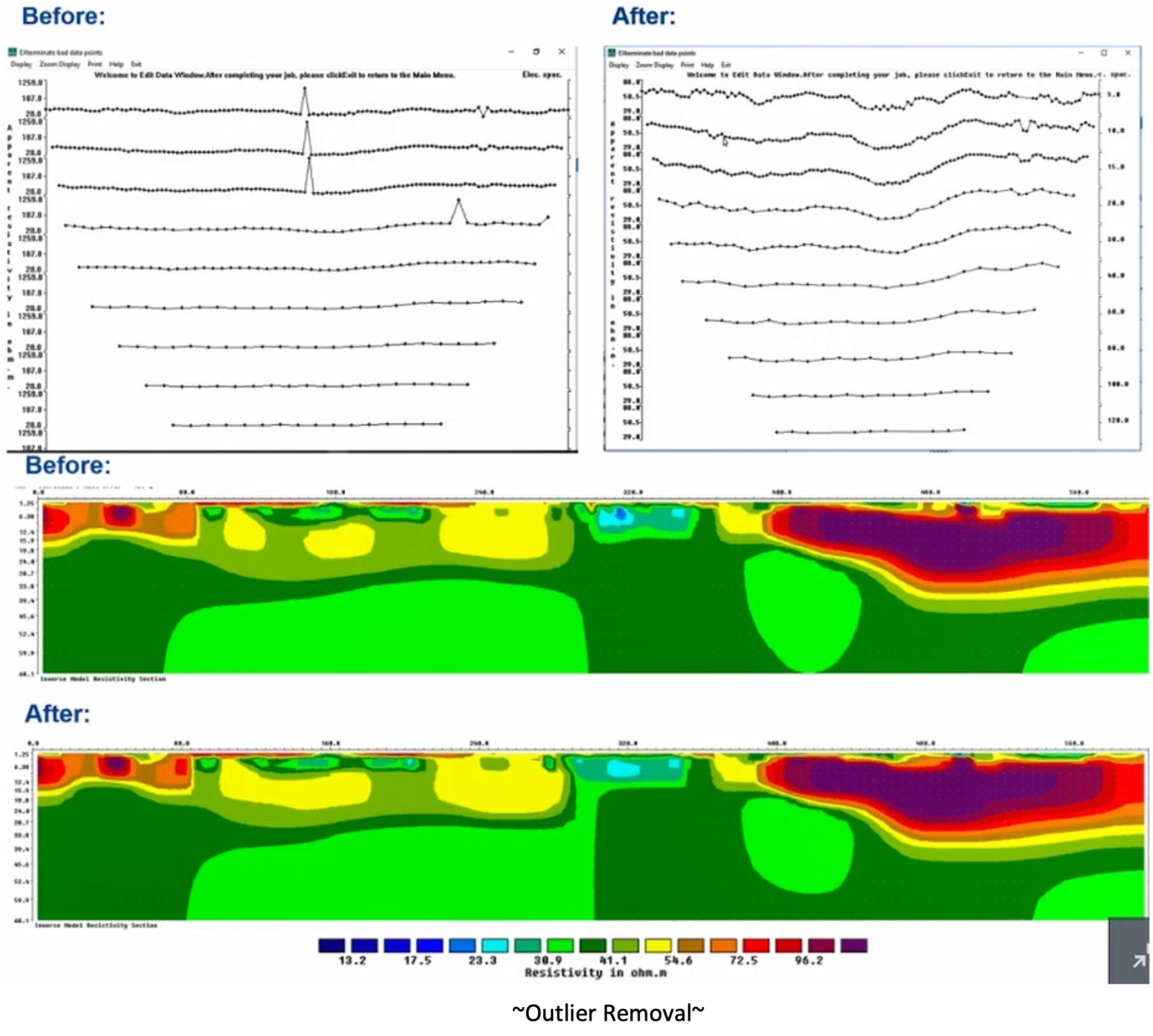
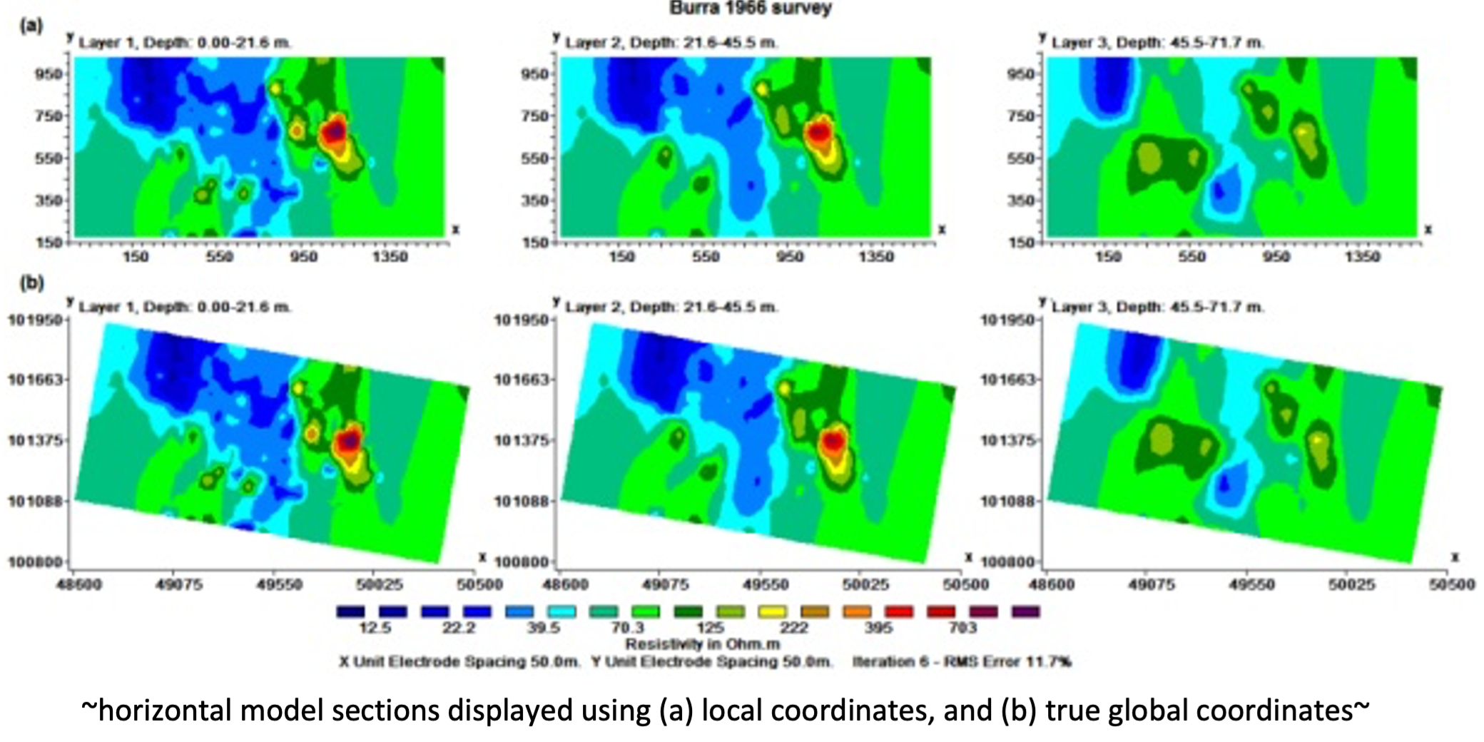
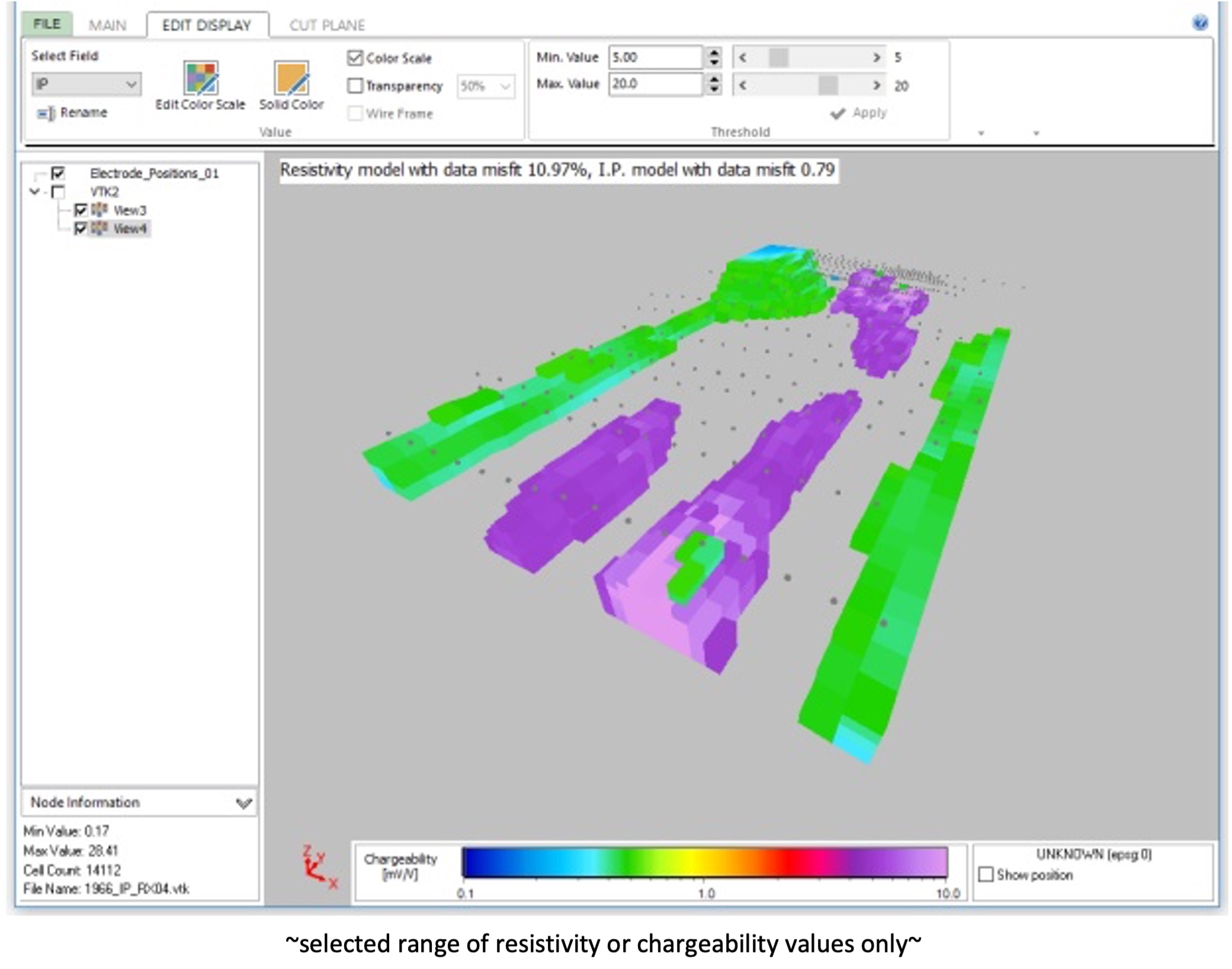
AGS Res2DInv and Res3DInv are powerful software packages for inversion of 2D and 3D electrical resistivity tomography (ERT), direct current (DC), and induced polarization (IP) data. With the market’s fastest resistivity and IP inversion algorithms, AGS Res2DInv and Res3DInv provide cost-effective and easy-to-use workflows for 2D/3D processing and inversion for land and underwater surveys. The software supports numerous data formats and all electrode configurations and provides an easy route from data to model visualisation. Model results can quickly be exported for further analysis in other solutions such as AGS Workbench or Oasis montaj. Continuously improved for more than 25 years, AGS Res2DInv and Res3DInv are well-known, optimised, and robust inversion solutions that deliver fast results.   

Res2DInv is available in one version only. When a user purchases Res2DInv, they also receive a free Starter version of Res3DInv which is a very limited version of the Basic version of Res3DInv. For Res3DInv available in four different versions: Starter, Basic, Pro and Enterprise. Each program has its own license key, so it is possible to use them separately on different PC’s or by different user.

download brochure

ResInv AGS

STARTER

BASIC

Limited to 8 GB RAM

Limited to 8 GB RAM

Limited to a finite difference/element mesh model with a maximum of 1.6 million nodes

Limited to a finite difference/element mesh model with a maximum of 1.6 million nodes

Limited 1000 electrodes and 5 inversion iterations


PROFESSIONAL

ENTERPRISE

Can access up to 256GB RAM and the maximum mesh size depends on the computer RAM – with 128GB RAM, it supports up to roughly 10 million nodes

Can access up to 256GB RAM and the maximum mesh size depends on the computer RAM – with 128GB RAM, it supports up to roughly 10 million nodes

3D Time-lapse inversion of datasets, and easy combination of separate datasets into time-lapse datasets

Easy combination of separate datasets into timelapse datasets


Subdivide large mesh into segments. Possible to perform larger inversions of resistivity data using the same computational resources (for now IP inversion is only possible using the linear perturbation method when using the subdivision option)


Support for vector array datasets, such as the IRIS Full Waver system


Calculation of Volume of Investigation (VOI)

System Requirements

Operating System

Windows XP/Vista/7/8/10 64-bit (Res2DInv)

Windows 7/8/10 64-bit (Res3DInv)

CPU

multi-core CPU (Intel – Recommended)

RAM

4 GB minimum (Res2DInv & Res3DInv), up to 256 GB (Res3DInv – PROFESSIONAL & ENTERPRISE)